
Cycle Route Maps – Sustainable Travel
Cycle route maps have a number of key functions. Not only does it help to promote health and wellbeing in the local community, it also encourages sustainable travel routes which can help to lower the environmental impact. Cycle route maps can also have an economical impact for local businesses and tourist attractions.
HOW WE HELP
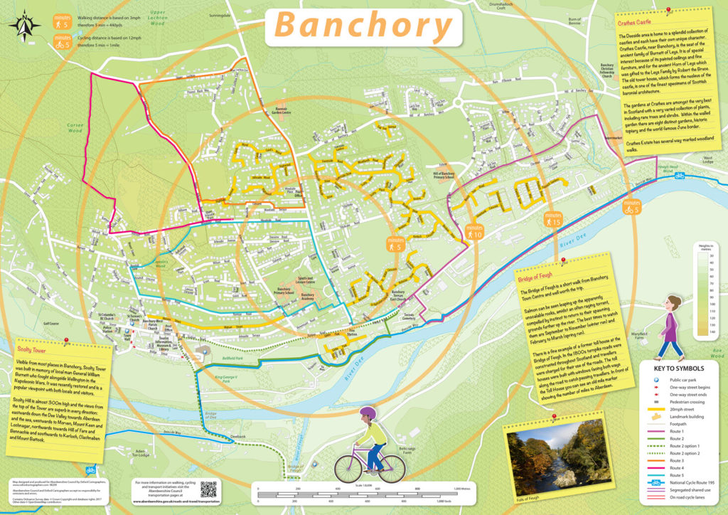
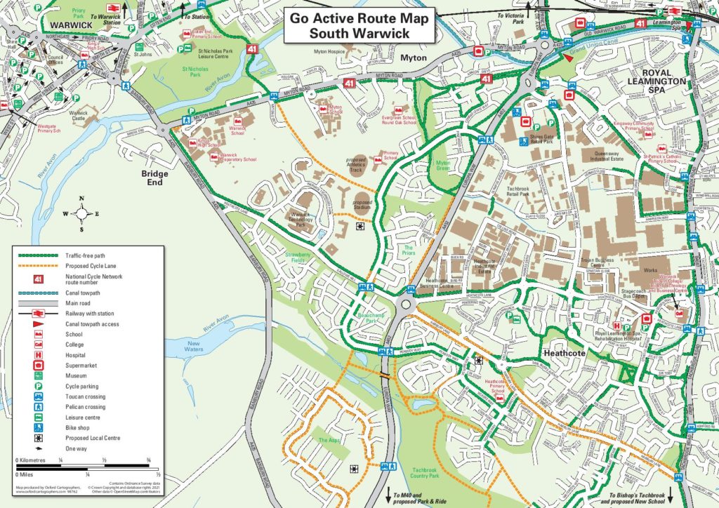
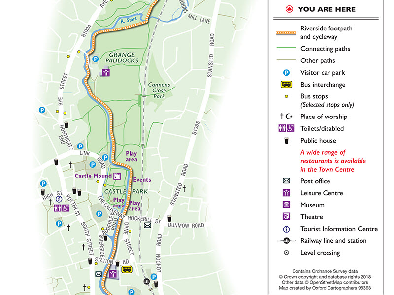
Cycle routes are clearly laid out highlighting the distinctive routes whether for off ride biking, traffic free routes, family friendly routes and more. Additional routes descriptions can be used to help the user plan which cycle route will fit them best for there purpose.
We consider the target audience when coming up with a design to create an inviting resource to encourage use of parks and open spaces, local businesses, tourism and points of interest. We also have the expertise to adapt to online channels (such as social media, responsive websites etc.)
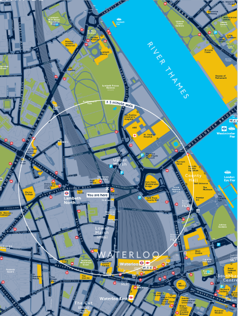
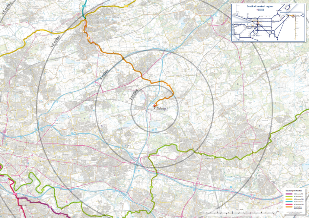
We use a mixture of traditional mapping using approximate travel times and distances where appropriate. This can help to encourage people to walk or cycle to work and for short local trips. The use of radial and time graphics has proved to help audiences plan the most appropriate way to travel at the time of their journey. This is a method we have used for Transport for London (TfL) on the Legible London walking and cycling maps which portray alternative travel information in an effective manner.

GET IN TOUCH
To get your questions answered, please leave your details below